We did two bike rides today, both of which were a bit insane.
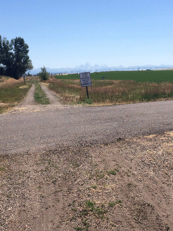
Before we left home both Dad and I had found the Ashton-Tetonia Rail Trail. It was in Idaho and provided views of the "back" of the Tetons! I knew from driving that way to West Yellowstone with Backroads that the views on the Idaho side were pretty nice. This was also going to be a great way to beat the crowds in Grand Teton!
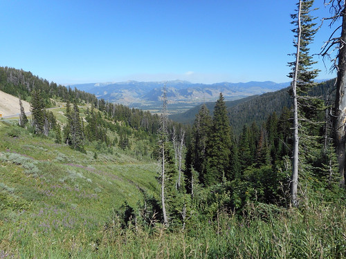
We headed out WY22, up and over Teton Pass! It was an impressive mountain pass! Looked a lot like Colorado with the trees, steep grade and windy turns! There were great views from the top, but the sun was wrong so we'd catch them coming home. We dropped down into VictoR, ID, which is where the Kate's bars Dad and I have discovered are made! We passed through severaL small towns on our way to Tetonia, the southern end of the rail trail.
I should mention that we didn't have much guidance in figuring out where the trailheads/road crossings were for this trail. The Trail Link app had a good map, but for some reason I couldn't purchase it. The trail didn't exisit at all on Google Maps. That should have been our first clue.
By linking together the trail end point from Trail Link and Google Maps we were able to find a well marked trailhead with parking and told Mom that's where she was going to meet us. We then continued on down the road to Ashton.
We found a visitor center and picnic area in Ashton, but it was closed and there was no mention of the rail trail in the literature available. We visited the nearby gas station for bathrooms and had lunch at the picnic table, then again used Trail Link and Google Maps to locate the beginning of the trail. There was no parking so Dad just pulled off the road. We got ourselves together and headed out. Mom was going to drive back to Tetonia to meet us.
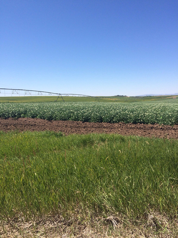
The entire trail is 29 miles long. We'd planned to ride it all. That plan started falling apart for me about 5 miles in. The trail surface was really rough. Soft sand, big rocks, ruts, grass, deep gravel, some smoother sections, but it was slow going. At 5 miles my "map my ride" app informed me I was going 6 mph. So, 30 miles was going to take a lot longer than I'd planned. And, it was blazing hot. There was no shade. The trail was put in farm county - lots of potato fields and other crops we weren't sure about. No trees. No shade. No clouds. Middle of the day crazy hot sun. And I wasn't moving fast enough to get a breeze.
I did kinda get into a groove where I was worrying less about flat tires and riding a bit faster, the trail was more solid. And then came the detour. There was a detour around a section of the railroad that is on private property and we had to go around. The detour included a rutted, soft dirt road that had several huge steep hills (the rail trail stayed fairly flat because trains don't do up and down.). In most places it was too soft for me to ride so I walked. One hill was so steep we couldn't see the bottom from the top! Then we came to the gravel road. This road was better, but the gravel was loose and deep and the hills were steep. I did a lot of walking.
When we finally got back to the rail trail it looked to be in worse shape than when we'd left it. Idaho Route 32 was only a few feet away and looked so smooth and inviting. Never mind that there wasn't much shoulder, it was windy and uphill and the speed limit was 65, we were riding the road.
We'd texted Mom (how in the world we had cell signal out here I'll never know, but we had full signal the whole time) and she had come back up the road and parked in a pull out at Mile Marker 8! We were at mile marker 12! Only 4 more miles! We'd be climbing gently, with small brief downhills since we got on the road, but just after mile 10 was a huge downhill! Ahhhhhh! Followed by a very steep uphill. Ugh. But, as we coasted down the next downhill, I saw the pullout, Mom was waiting at the bottom! 19 miles, over half on the rail trail.
As we drove back toward Jackson Dad and I hatched a plan to ride down from Teton Pass! This morning we'd noticed a bike path at the top and bikers coming up! It reminded us of Vail Pass! We decided this would be our reward for putting up with crazy rail trail ride. When we arrived at the pass we got our bikes and headed down.
The bike path was actually the Old Pass Road and it was seriously steep, with tight hairpin switchbacks! We had to grip the brakes the whole way down. There was no coasting until the last mile. It was on pavement thought, even the part that was on a gravel road was smoother. However, it was not a fun ride down.
We came close to 30 miles on the bike today, but the 7 miles down Teton Pass don't really count since we didn't pedal at all!
After we got the bikes loaded back up we headed to Bon Appe Thai in Jackson where I got some of the best Pad Thai I've ever had! It was all veggie with just enough kick! So yummy! Then of course we had to stop by Moo's for our ice cream fix! I got chocolate chip this time. The other night I got some of Moo's sorbet at Albertson's and I think that's my favorite, it's only strawberries and sugar and has 45 calories per half cup. You could eat the entire pint for less calories than a small serving of ice cream. And it has great strawberry flavor!
Then back to the campground to run our generators!


No comments:
Post a Comment